Yerupajá · 6,617 m
Behind the camera
I just like playing around with cameras.
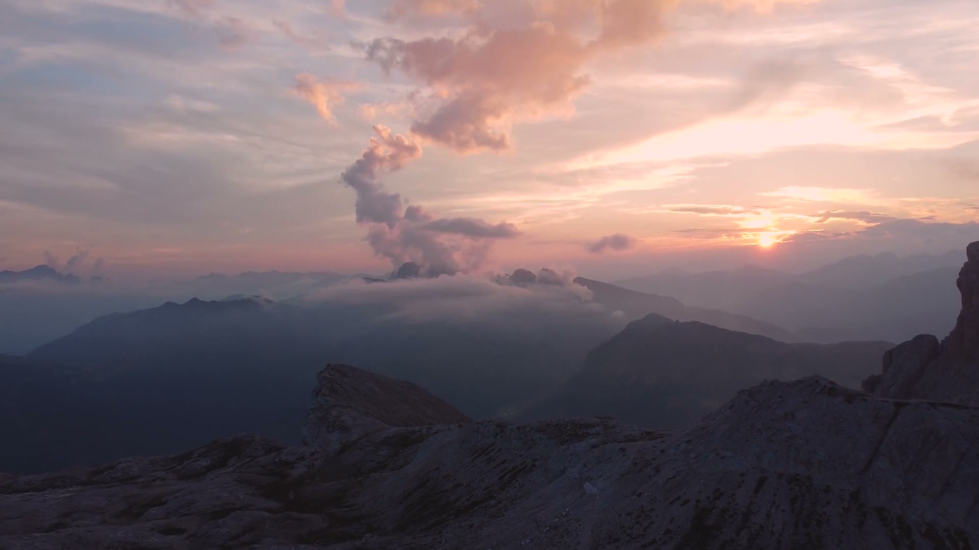
Cameras, drones, whatever I can get my hands on. I love figuring out how to make a shot look the way it feels to actually be there.
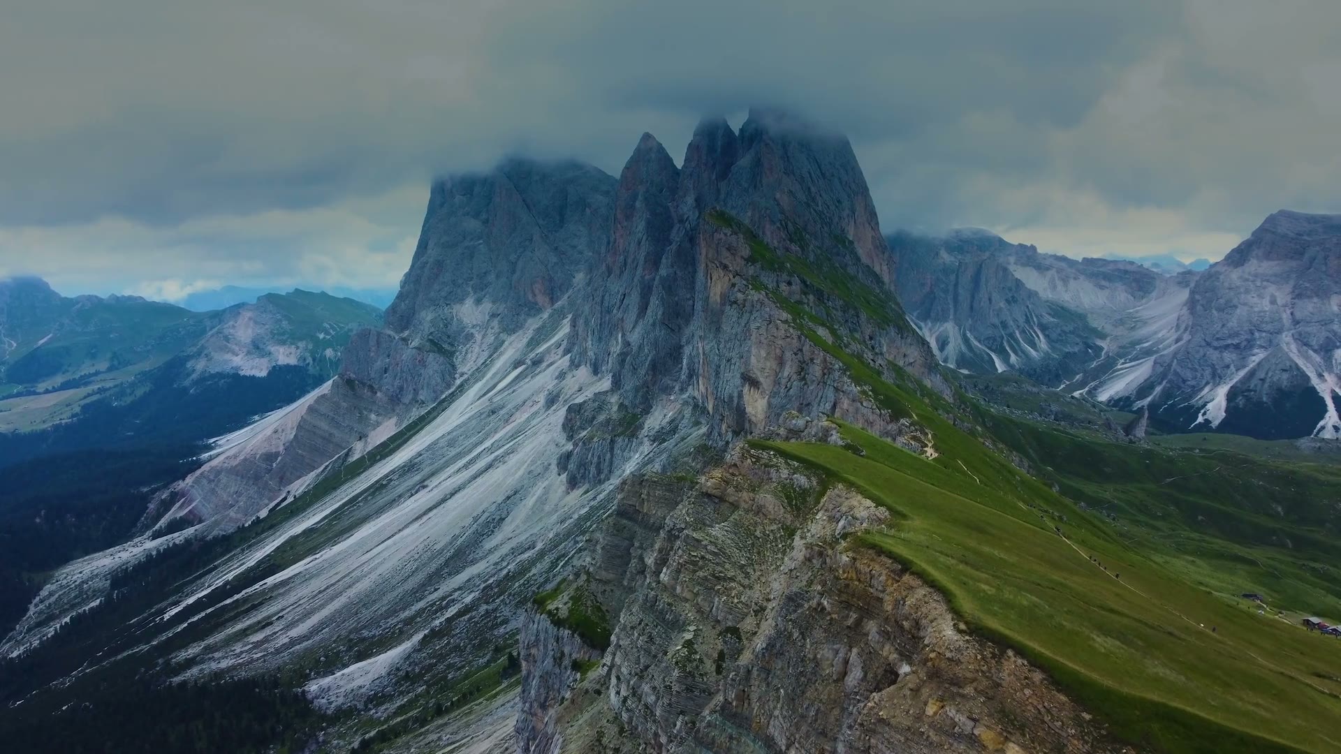
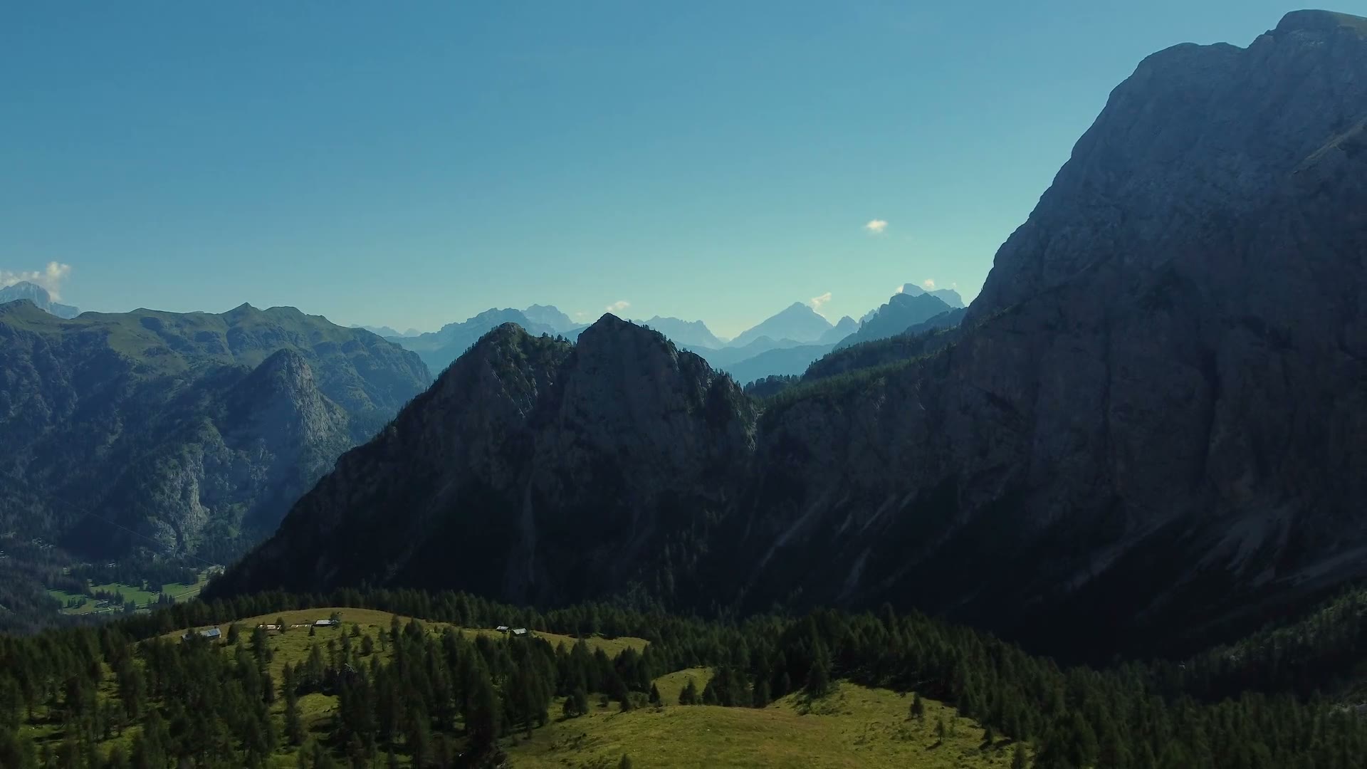
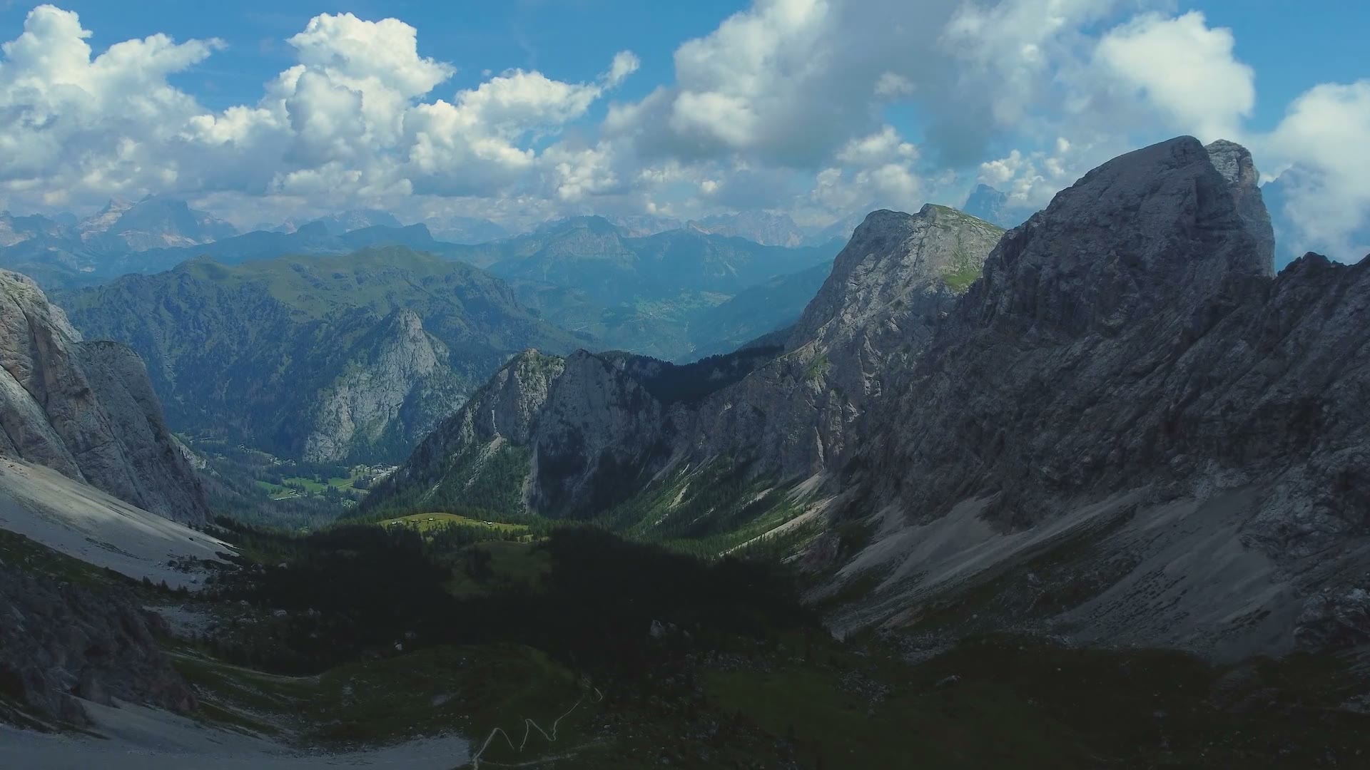
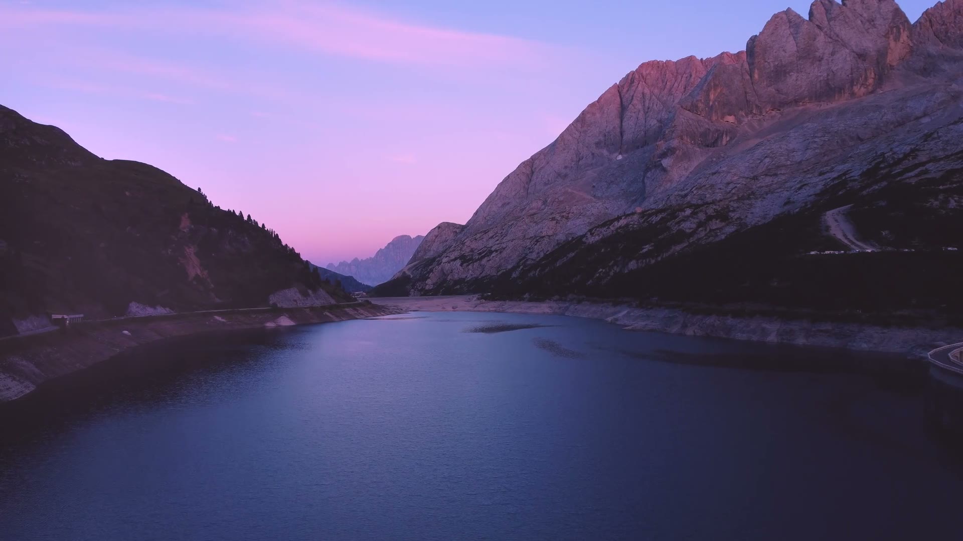
I've already made a few complete cinematic videos, start to finish. Some of my favourite drone shots are just below.
From the air
The range · 04 · Cordillera Huayhuash
Huayhuash Circuit
The Huayhuash Circuit loops all the way around the Cordillera Huayhuash, a small, wild range in the Peruvian Andes. It's about 100 km, usually walked over ten days or so, with passes up around 5,000 m and turquoise lakes sitting right under the glaciers.
Here's the thing: I've never been. Every other trail on this site is one I've actually walked. This one I haven't, at least not yet.
My brother and I talk about going together one day. It's my bucket list trip, and the view at the top of this page, from the shore of Laguna Carhuacocha up to Yerupajá, is the one I most want to see with my own eyes.
- times I've been, so far
- 0
- times I've been, so far
- around the range
- 100 km
- around the range
- or so, the highest passes
- 5,000 m
- or so, the highest passes
- Yerupajá, Peru's second highest
- 6,617 m
- Yerupajá, Peru's second highest
No photos from this one yet. Someday.